Trail Walking Le Vauclin - GabyG.  Pointe du Vauclin - Photo

GabyG. Pointe du Vauclin

 GabyG
GabyG

User GUIDE

© OpenStreetMap contributors
Length
Length
12.3 km
Max alt
Max alt
59 m
Uphill gradient
Uphill gradient
249 m
Km-Effort
Km-Effort  
15.6 km
Min alt
Min alt
0 m
Downhill gradient
Downhill gradient
249 m
Boucle
Boucle
Yes
Creation date :
2017-02-19 00:00:00.0
Updated on :
2023-01-20 13:03:53.266

(1 Reviews)

Walking
Walking
3h09
Difficulty : Medium

Scan this QR Code to open this trail in the SityTrail application

FREE GPS app for hiking

Logo SityTrail SityTrail
IGN / Geographical institutes

Download SityTrail from the App Store Download SityTrail from Google Play

Logo SityTrail SityTrail World
The world is yours!

Download SityTrail from the App Store Download SityTrail from Google Play Download SityTrail on Huawei AppGallery

About

Trail Walking of 12.3 km to be discovered at Martinique, Unknown, Le Vauclin. This trail is proposed by GabyG.

Description

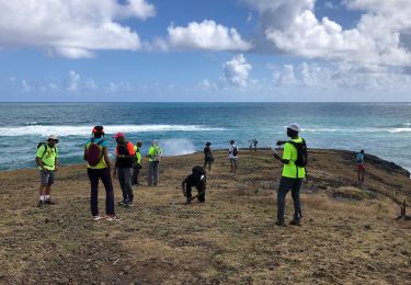
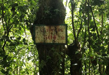
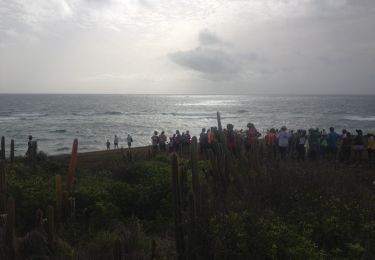
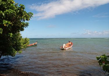
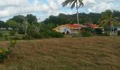
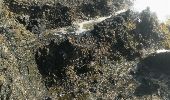
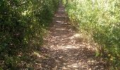
Pointe du Vauclin. Belle randonnée du dimanche, sur deux parcours, attention au soleil! beaucoup de passages ombrager.
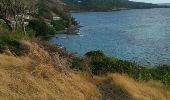
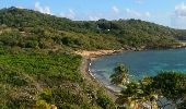
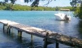
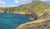
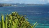
*)  Le grand parcours de 6.7 km, longe la cote et donne de superbes points de vues pour les chasseurs d'images et de bordures côtière.
*) Le petit parcours de 5.3 km, accès directe par la mangrove, puis passage dans le petit village de petite grenade.
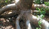
Les deux parcours d'une manière ou autre, vous permettent de vous apprivoiser avec la mangrove. Respectez-la et gardez notre Martinique propre. Chiens tenus en lesse uniquement.

Elevation profile

Photos

Positioning

Country:
France
Region :
Martinique
Department/Province :
Unknown
Municipality :
Le Vauclin
Location:
Unknown
Start:(UTM)
732980 ; 1609955 (20P) N.

Comments

Please log in to post a review or rate the element


Randonnée pour les avertis, bien qu'elle soit à porté de tous, cette rando présente certaines difficultés qui surprend le randonneur mal équipé. soleil, montés, enrochement et végétaux épineux. cependant c'est une belle randonnée côtière qui se laisse courtiser à trou cochon pour un bain relaxant. c'est à 3 1/4 d'heures de la fin.


Trails nearby

Trail Other activity Le Vauclin - Reco boucle montagne du Vauclin  - Photo
Other activity
GUIDE
manuelPerez

Other activity

Easy
(2)
Le Vauclin, Martinique, Unknown, France
10.3 km | 18.6 km-effort
4h 31min
Yes
Trail Walking Le Vauclin - 2eme parcours de la pointe du vauclin et trou cochon  - Photo
Walking
GUIDE
GabyG

Walking

Medium
Le Vauclin, Martinique, Unknown, France
7.3 km | 9.7 km-effort
2h 48min
Yes
Trail Walking Le Vauclin - Randonnée scolaire - Photo
Walking
GUIDE
GabyG

Walking

Medium
Le Vauclin, Martinique, Unknown, France
6.9 km | 8.2 km-effort
2h 40min
Yes
Trail Walking Le Vauclin - Macabou macré  - Photo
Walking
GUIDE
manuelPerez

Walking

Le Vauclin, Martinique, Unknown, France
13.8 km | 17 km-effort
4h 9min
Yes
Trail Walking Le Vauclin - Boucle pointe Faula sigy trou cochon  - Photo
Walking
GUIDE
manuelPerez

Walking

Le Vauclin, Martinique, Unknown, France
16.2 km | 20 km-effort
4h 43min
Yes
Trail Walking Le Vauclin - Montagne Vauclin depuis gisquet  - Photo
Walking
GUIDE
manuelPerez

Walking

Le Vauclin, Martinique, Unknown, France
9.6 km | 17.3 km-effort
3h 56min
Yes
Trail Walking Le Vauclin - Petit parcours Macabou - Photo
Walking
GUIDE
Lamartiniere

Walking

Easy
Le Vauclin, Martinique, Unknown, France
5.3 km | 6 km-effort
1h 42min
Yes
Trail Walking Le Vauclin - la boucle du Vauclin - Photo
Walking
GUIDE
manuelPerez

Walking

Very easy
Le Vauclin, Martinique, Unknown, France
7 km | 9.4 km-effort
2h 35min
Yes
Trail Walking Le Vauclin - Pointe du Vauclin - Photo
Walking
GUIDE
David25400

Walking

Easy
Le Vauclin, Martinique, Unknown, France
7.1 km | 9.4 km-effort
3h 33min
Yes


Close
My subscriptions